Bramber, Beeding - click image below to return
Same place as below, high water, River Adur, Bramber, Sussex, c.1900-10, Ref- 421 - click image below to return
Bramber, Beeding - click image below to return
Same place as below, high water, River Adur, Bramber, Beeding, Sussex, c.1940s-50, Ref- 443 - click image below to return
note number of subtle changes, windows etc.
Bramber, Beeding - click image below to return
Boating on the River Adur, Bramber, Beeding, Sussex, c.1908-13, Ref- 411 - click image below to return
Same place as above, low tide, note additions, new steps and fencing etc.
Bramber - click image below to return
Adur House, River Adur, Upper Beeding - Bramber, Sussex, c.1950, Ref- 442 - click image below to return
Same place as above, note changes - see further expanded image below.
Bramber - click image below to return
Lower quality, further version of above image, River Adur, Upper Beeding - Bramber, Sussex, c.1950, Ref- 444 - click image below to return
Same image as above, note different title and slightly expanded image.
Adur House, River Adur, Upper Beeding - Bramber, Sussex - click image to return
Ref- 411a, Adur House, River Adur, Upper Beeding - Bramber, Sussex - Google Street View May 2023 - click image to return

click image to return - - go to page 1 of this set - - Vintage Trail index - - page top
 

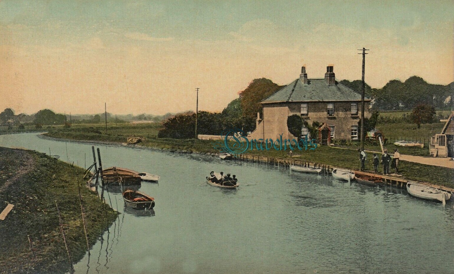
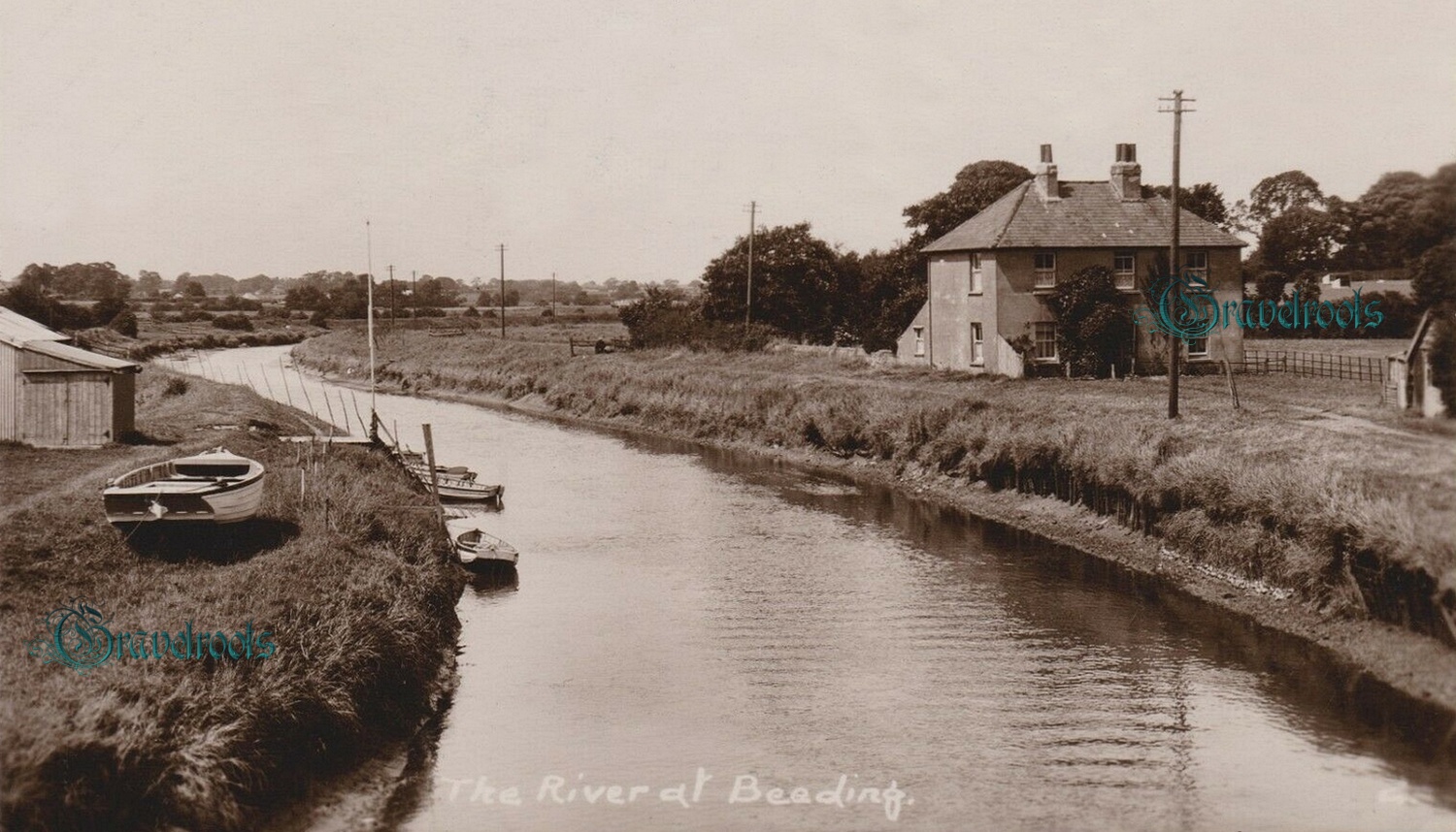
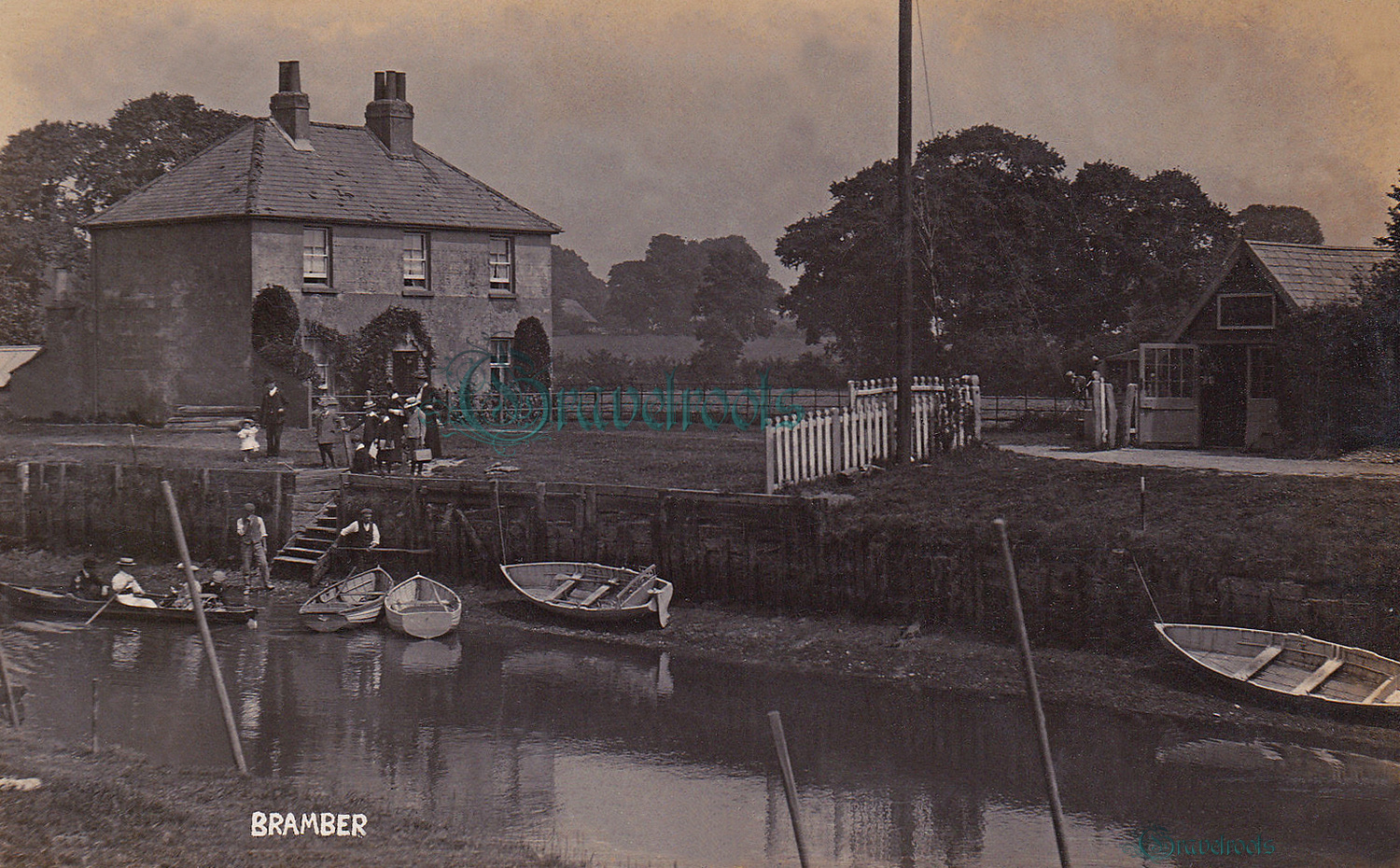
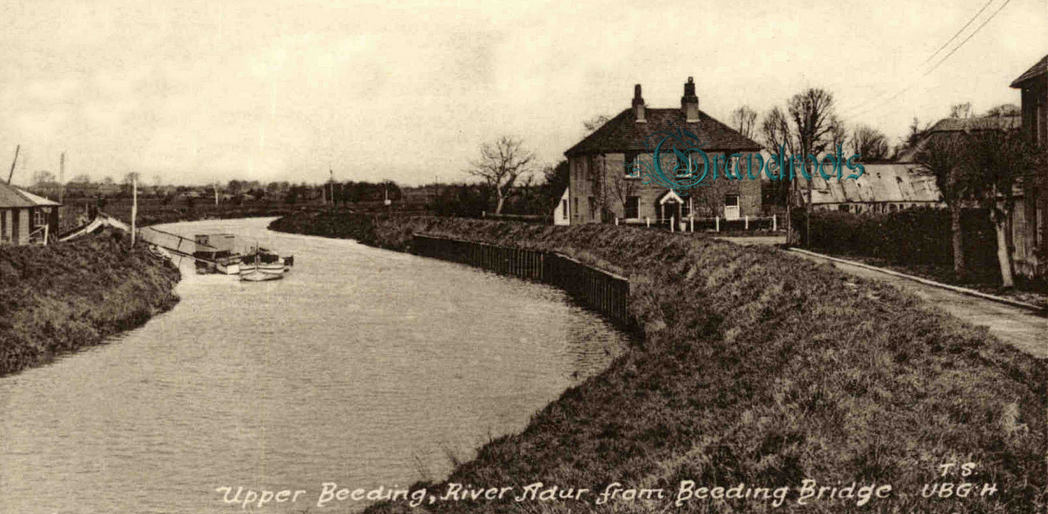
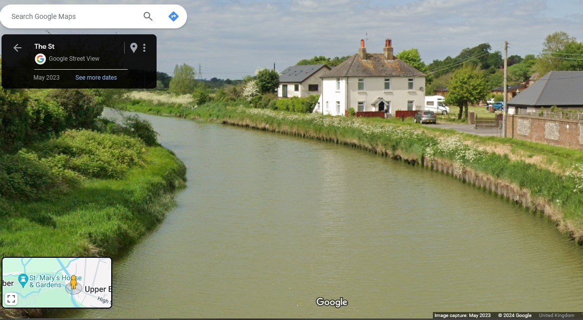
The River Adur is the boundary between Bramber and Beeding with titles on images often overlapping between the two.


Anything further you can add? - - photographs, postcards or information etc, you wish to share? - Let us know
 
Part of Gravelroots Vintage Trail


    Many of the Vintage images shown on our pages are often available from our archives, without the Gravelroots watermark mostly at a higher resolution, to print etc. via downloads.
    click here for details.
    Our offline archives are very extensive, if you are here searching for specific images,
    eMail us.
 
 
Keys- west sussex downs boats beeding
page3.20

Valid CSS